

The most surprising thing about the eighth continent is not that it is underwater. It is that it used to be dry.
For most of the 85 million years since Zealandia broke away from the supercontinent Gondwana, it was not simply a submerged plateau. It was, for large stretches of that time, a genuine terrestrial landscape — a continent with forests, mountains, rivers, coastlines, and eventually the specific ecosystems of plants and animals that had evolved on it in the tens of millions of years after its separation from the rest of Gondwana. Dinosaurs walked on it. Prehistoric birds and mammals colonised it. Its geography changed, over that time, in the way continents do — through erosion, sedimentation, volcanic activity, and the slow tectonic drift that gradually carried it away from Antarctica and Australia into the middle of the South Pacific.
Then, starting around 55 million years ago and accelerating steadily over the following tens of millions of years, it began to sink.
By approximately 23 million years ago, the continent had largely disappeared beneath the ocean. Only a few of its highest points — what we now know as New Zealand, New Caledonia, Norfolk Island, and the Lord Howe Island group — remained above the surface. What had once been a landmass of nearly two million square miles, roughly the size of the Indian subcontinent, was now 94 percent underwater. The parts that stayed above the waves would eventually be recolonised by new plants and animals arriving from Australia and elsewhere, but the original Zealandian biota was, by then, largely lost.
For millions of years afterwards, the sunken continent lay unnoticed beneath the sea. It would take three and a half centuries of European exploration, and then two more decades of specifically geological scrutiny, before the first modern scientist would formally suggest calling it what it always had been.
The name that took two decades to stick
Zealandia’s modern rediscovery was quiet.
In 1995, Bruce Luyendyk, a geophysicist at the University of California Santa Barbara with long-standing research ties to New Zealand’s marine geology community, proposed the name in a paper that circulated within a small circle of specialists. He was not, at that point, arguing that the region qualified as a full continent. He was making a more modest observation — that the continental crust beneath and surrounding New Zealand extended much farther out than the shoreline of the country suggested, and that the whole submerged region needed a single label because it was, geologically, a coherent unit.
The name he chose was intentionally understated. Zealandia. A geological label for a landmass most of whose surface expression was the two islands of New Zealand.
Within the small community of marine geologists who worked on Southwest Pacific tectonics, the term was accepted quickly. Outside that community, it went essentially nowhere for the next two decades. There was no press coverage. No public rebranding of world maps. No revision of primary school geography curricula. The eighth continent existed, in scientific fact, but not in public knowledge.
That changed in February 2017, when a team of eleven geologists led by Nick Mortimer of GNS Science in Dunedin, New Zealand published a paper in the Geological Society of America’s journal GSA Today. Their argument was direct. Zealandia met all four of the established criteria for continent status. It was significantly higher in elevation than the surrounding ocean floor. It had a distinctive geology of granite, schist, and sandstone — the standard continental rock assemblage. Its crust was 10 to 30 kilometres thick, compared to the roughly 7 kilometres of the oceanic crust around it. And it enclosed a coherent, well-defined block of approximately five million square kilometres — larger than India, roughly two-thirds the size of Australia.
The paper’s conclusion was blunt: “Zealandia is not just a collection of continental fragments. It is a coherent continent and should be recognized as such.”
The 2017 announcement was the moment Zealandia became public knowledge, twenty-two years after Luyendyk had first proposed the name.
What lies underneath
The physical shape of Zealandia is worth being specific about.
It is not a single flat sunken plateau. Its underwater topography is complex — a series of ridges, basins, plateaus, and rises spread across roughly two million square miles of seafloor. The continent’s shape roughly resembles a long curved wing, extending from just south of New Guinea in the north, southward past New Zealand, and terminating in the Campbell Plateau below the South Island. Its westernmost edge sits under the Lord Howe Rise, off the Australian coast. Its easternmost edge borders the deep abyssal plain of the South Pacific.
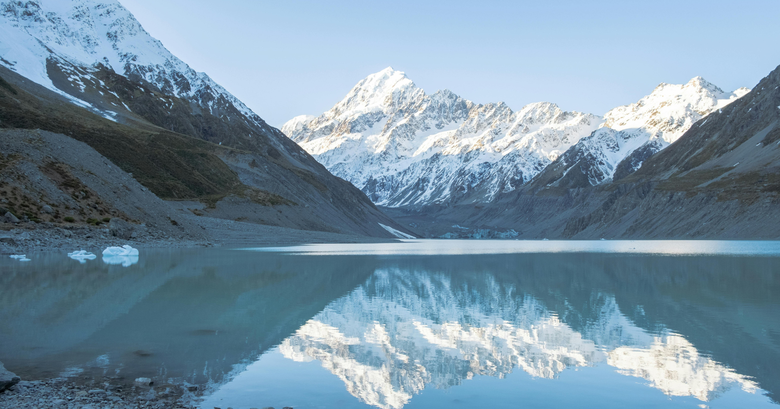
New Zealand itself is only the highest surviving fragment of this vastness. The country’s two main islands sit atop what would, in the drier past, have been a rugged mountainous spine running through the continent’s interior. New Caledonia, over 2,000 kilometres to the north, is another surviving high point of the same landmass — separated from New Zealand today by hundreds of kilometres of open ocean, but connected geologically by a continuous stretch of submerged continental crust.
Sediment cores drilled by the International Ocean Discovery Program in 2017, some reaching more than 1,200 metres deep into Zealandia’s sunken surface, have preserved a record of what the continent was like above water. The cores contain fossil pollen, microscopic fossils of shallow marine and terrestrial organisms, and sedimentary layers indicating the specific conditions under which the continent slowly drowned. What they show is that Zealandia was not, before its submergence, a barren place. It was inhabited. It had climate zones. It had biological communities that no longer exist anywhere.
Why this matters
The Zealandia story is a specific reminder that continents are not the fixed features they appear to be on modern maps.
The seven-continent model most people learn in primary school is a snapshot of the current configuration of Earth’s continental crust. It is not a permanent feature. Continents move. They collide. They split apart. They rise above sea level and, sometimes, they sink beneath it. Over the 4.5 billion years of Earth’s history, the arrangement of continents has changed continuously — and Zealandia, submerged but geologically distinct, is a visible reminder that the current arrangement is one moment in a much longer story.
There is also, buried in the story, something quietly poignant. Zealandia was a place. Life happened there. Its ecosystems developed over tens of millions of years. And then, over the course of another few tens of millions of years, it went under. Its forests drowned. Its rivers vanished. Its coastlines were submerged one after another until only a handful of the highest peaks remained.
New Zealand and New Caledonia are the survivors of that sinking. They are not islands in the ordinary sense. They are the mountaintops of a continent that has otherwise, essentially, disappeared.
Somewhere in the South Pacific tonight, several thousand feet below the waves, most of a continent is quietly still there — where it has been for the last 23 million years, waiting for the world to notice.
