
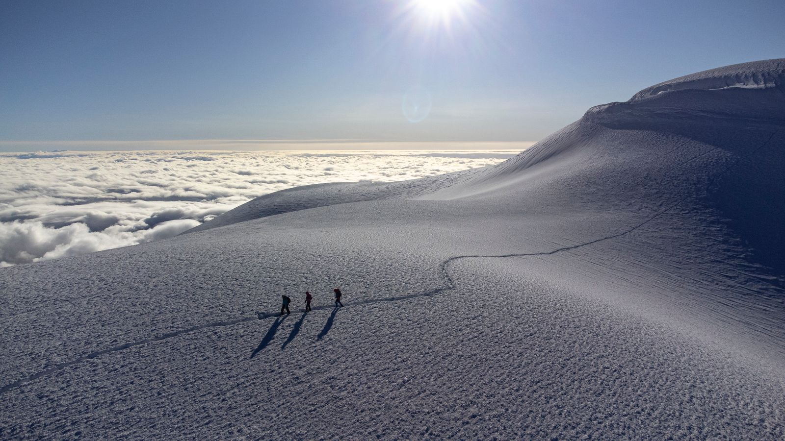
Stand on the snow-covered summit of Chimborazo, and you are roughly 6,384 kilometres from the centre of the Earth, about 2.1 kilometres farther out than a climber on Everest. Chimborazo is not higher above sea level. It is farther from the middle of the planet, which is a different measurement on a world that is wider around its equator.
Everest’s official height is 8,848.86 metres above mean sea level. Ecuador’s Instituto Geofísico lists Chimborazo at 6,263 metres, leaving Everest more than 2.5 vertical kilometres higher by the familiar standard.
Both records are correct. The apparent contradiction begins with the shape of the planet beneath them.
The planet is not a sphere
Earth’s rotation makes the planet an oblate spheroid, slightly flattened at the poles and swollen around the equator. The effect is small beside the size of Earth, but enormous beside the difference between two mountain summits.
NASA gives Earth’s equatorial radius as about 6,378 kilometres and its polar radius as about 6,357 kilometres. The difference is roughly 21 kilometres, about eight times the sea-level height gap between Everest and Chimborazo.
Chimborazo stands at 1.467 degrees south latitude, almost on the widest belt of the planet. Everest lies near 28 degrees north, where the surface is already closer to Earth’s centre before either mountain rises from it.
Why Chimborazo wins the centre-of-Earth measurement
Geodesists do not obtain the answer by adding a mountain’s elevation to one universal Earth radius. They calculate the summit’s three-dimensional position against a reference model that accounts for latitude, elevation and the planet’s flattened shape.
On that measure, NOAA identifies Chimborazo as the point on Earth’s surface farthest from its centre. Its summit sits more than 2,072 metres farther out than Everest’s, despite being far lower above sea level.
Modern satellite positioning makes that distinction measurable with great precision. The calculation describes where each summit sits in space relative to Earth’s centre, not how high a climber has ascended above the ocean.
That is why “highest” needs a reference point. Change the surface from which the measurement begins, and the record changes with it.
The expedition that measured the planet
Isaac Newton predicted the polar flattening in his 1687 Principia. A rotating, self-gravitating body, he argued, should not remain a perfect sphere.
In the 1730s, the French Academy of Sciences sent geodetic teams towards the equator and the Arctic. The expedition in what was then called Peru included Charles Marie de La Condamine, Pierre Bouguer and Louis Godin, while Pierre Louis Moreau de Maupertuis led the mission to Lapland.
The teams measured arcs of the meridian by triangulation. A degree of latitude proved longer in Lapland than near the equator, the pattern expected if Earth were flattened at the poles rather than stretched along its axis.
Chimborazo later drew Alexander von Humboldt. In 1802, when the volcano was still widely regarded as the world’s tallest mountain, Humboldt climbed to nearly 6,100 metres but did not reach the summit. The record-setting geocentric point remained above him, on the peak first climbed in 1880.
Why sea level still makes Everest the highest
Sea level is not a rigid shell wrapped around Earth. Tides, currents, winds and regional differences in gravity move the actual ocean surface, so surveyors need a stable reference.
That reference is the geoid, NOAA’s model of global mean sea level. It follows the smoothly undulating surface the oceans would settle onto without tides and currents, then extends that zero-elevation surface through the continents.
Nepal’s modern Everest survey combined satellite positioning, precise levelling, gravity observations and a regional geoid model. The resulting orthometric height, the elevation above the gravity-defined sea-level surface, was announced jointly by Nepal and China in December 2020.
Under that standard, Everest is unambiguously the highest point on Earth’s solid surface. A geocentric distance answers another question, useful and real, but it does not replace elevation above sea level.
Three records, three different questions
A third measurement starts at a mountain’s physical base rather than at sea level or Earth’s centre. That brings Hawai‘i’s Mauna Kea into the contest.
The US Geological Survey puts Mauna Kea’s summit at 4,207.3 metres above sea level. Most of the volcano, however, rises from the submerged flank and floor of the Pacific, giving it a base-to-peak height of more than 10,210 metres.
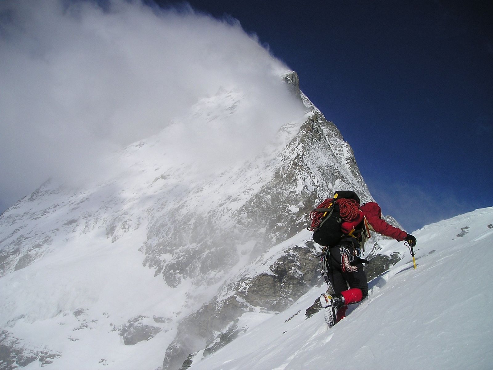
Everest is highest above mean sea level. Mauna Kea is tallest from its submarine base. Chimborazo reaches farthest from Earth’s centre.
None of that makes Chimborazo harmless. Its upper slopes are glaciated, and the mountain carries serious altitude and avalanche hazards, as a deadly 2021 avalanche on Chimborazo demonstrated.
At 6,263 metres, the summit also lies above the approximately 5,200-metre limit at which the CDC says the human body can adjust to moderate hypoxia. The acute acclimatisation process takes several days, and the consequences of oxygen deprivation depend strongly on altitude and rate of ascent.
A record written into a changing planet
Earth’s equatorial bulge is not just a geographical curiosity. The planet’s precise shape and gravity field underpin surveying, navigation, flood mapping and the positioning systems that locate points on its surface.
The shape is not perfectly fixed, either. Ice loss and groundwater movement redistribute mass, and NASA-supported research has linked that movement to a minute lengthening of the day, the same effect examined in TerraDaily’s report on how melting ice slows Earth’s spin.
Satellites now track those changes across years and continents. A decade of radar observations, described in TerraDaily’s coverage of Sentinel-1 measurements of Greenland and Antarctic ice, records motion that earlier geodesists could never have seen.
Chimborazo once lost the title of world’s highest mountain when 19th-century surveys established the scale of the Himalayas. The volcano did not change. The reference point did.
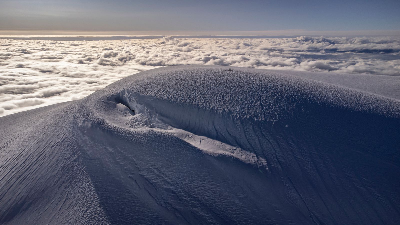
Its summit remains a broad cap of snow and ice above the Ecuadorian Andes. Everest rises more than 2.5 kilometres higher above the sea, yet the geometry of a spinning planet leaves Chimborazo’s summit about 2.1 kilometres farther from Earth’s centre, a record built into the shape of the world beneath it.
