

A hectare of mangrove forest — the tangled, stilt-rooted trees that line tropical coasts from the Sundarbans to the Yucatán — locks away on the order of 400 to 1,000 metric tons of carbon, most of it buried in the anaerobic mud beneath the roots. A hectare of Amazon rainforest, by comparison, stores between 60 and 230 metric tons. Set the two side by side and the coastal forest holds roughly three to five times more, hectare for hectare. The multiplier is not marketing. It is a function of chemistry: mangroves sit in salty, oxygen-starved sediment where dead leaves and roots decompose so slowly that the carbon they contain effectively stops moving.
That same tangle of roots, arranged in a band along a coastline, can reduce an incoming cyclone storm surge before it reaches the villages behind. Mangroves occupy less than 1% of Earth’s surface but hold disproportionate amounts of carbon in ocean ecosystems. The reason a hectare of them outperforms a hectare of rainforest — for both carbon and coastal defence — comes down to mud, salt, and the specific geometry of a mangrove root.
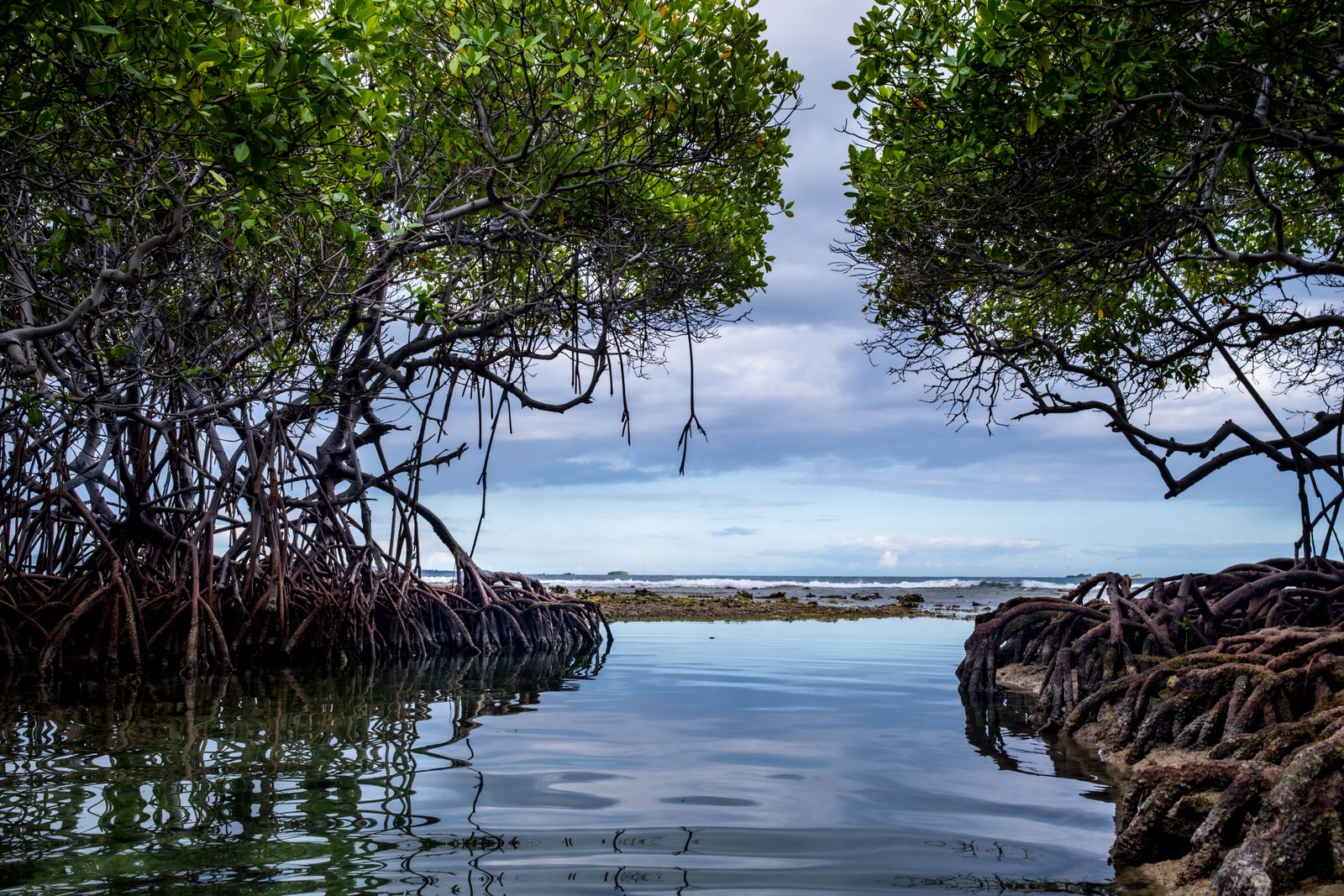
The mud is the vault
In a rainforest, most of the carbon is above ground, in trunks and canopy. When a tree falls, fungi and bacteria take it apart within years. Warm, wet, oxygenated soil is a good place to be a decomposer.
A mangrove flips that geometry. The tree still holds carbon in its wood, but the far bigger reservoir is underneath — in peat-like sediment that is waterlogged twice a day by the tide. Oxygen barely penetrates. The bacteria that would normally break down leaf litter and fine roots either work slowly or not at all. Organic matter piles up. Layer by layer, century by century, the forest builds its own carbon vault out of its own dead tissue.
Researchers working in Mexico’s Veracruz state have found coastal wetland forests storing several times what nearby upland forests hold. The mud is doing the work.
The ratio in the headline — three to five times a tropical rainforest, per hectare — is not a single number pulled from a single paper. It is the shape of the distribution across dozens of studies. Rainforests cluster in the low hundreds of tons per hectare. Mangroves cluster in the high hundreds to over a thousand, once you count down through the peat.
The depth matters. In the Peruvian Amazon, peatland soils have been measured at up to 1,700 metric tons of carbon per hectare in the peat itself. Mangrove sediments work on the same principle: standing water, no oxygen, slow decay, deep accumulation. NASA researchers studying coastal wetlands describe them as disproportionate carbon capturers for exactly this reason — a thin sliver of coastline doing outsized work.
The catch is that the vault only stays sealed while the mud stays wet. Drain a mangrove for shrimp ponds or a coastal road, and oxygen floods in. The bacteria wake up. Centuries of stored carbon leave as CO₂ within decades.
What the roots do to a wave
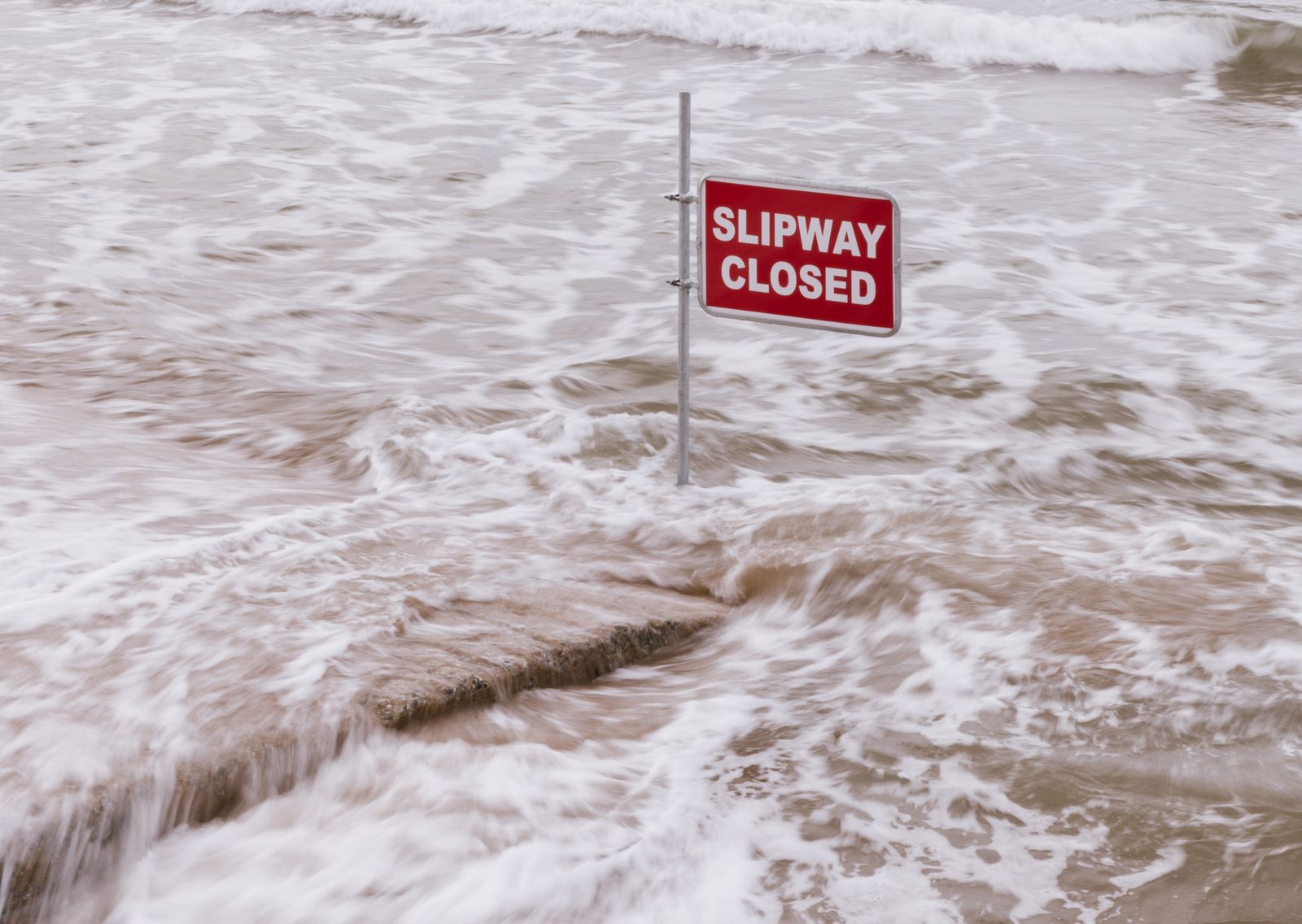
The second half of the question — how the same hectare of trees blunts a cyclone surge — is a matter of drag. A mangrove forest is not a smooth surface. It is a dense, three-dimensional lattice of prop roots, pneumatophores (the pencil-like snorkels that stick up from the mud), trunks, and low branches. When a storm surge pushes water inland, that lattice extracts energy from it — turning organised wave motion into turbulence, and turbulence into heat.
Mangrove belts can substantially reduce wave height and peak surge levels, shrinking inland flooding. In a July 2026 paper in Nature Climate Change, a team led by Jacob Hochard at the University of Wyoming pointed to a mangrove restoration project in the Indian Sundarbans where a subset of restored forest was estimated to deliver more than $15 million in annual avoided property damage and reduce flood risk for more than 37,000 people.
That is one project, on one delta. Scaled to the world’s mangrove coasts, the number becomes a public-works budget.
The species and the shifting coast
Not every mangrove is built the same. Red mangroves (Rhizophora) throw down the iconic arching prop roots that make the forests look like they are standing on tiptoe. Black mangroves (Avicennia) send up thousands of pneumatophores per square metre, a bed of nails poking through the mud. White mangroves (Laguncularia) sit further inland. Each species contributes a different roughness to the wave-breaking equation, and each buries carbon at a slightly different rate.
The tidal cycle drives the whole system. Twice a day the forest floods, twice a day it drains. Fine sediment settles between the roots on the incoming tide; leaf litter and root fragments get trapped and buried. Over centuries the forest floor rises — the mangroves are, in a slow way, building the coastline they stand on.
That coastline-building only works if the forest can keep up with sea level rise. Research led by the University of Exeter, published in June 2026, warns that if seas rise faster than mangroves can accrete sediment, the trees drown — and the carbon in the mud below them can begin to leak back to the atmosphere as the peat is eroded or exposed. These salt-tolerant coastal forests occupy less than 1% of Earth’s surface, yet hold roughly 15% of the carbon stored in ocean ecosystems, and the study cautions that their ability to lock that carbon away could weaken as seas keep rising.
Brazil’s mangroves — some of the largest continuous stands on Earth — are a test case. In a peer-reviewed assessment in Frontiers in Forests and Global Change, researchers identified the Brazilian coast as a blue-carbon hotspot of global relevance, holding about 8.5% of the world’s mangrove carbon and storing up to several times more carbon in the top metre of soil than other Brazilian biomes. Lose those forests to sea-level rise or clearance, and the accounting reverses overnight.
There is a hopeful side. A Tulane-led study published in mid-2026 in Science found a global mangrove recovery trend, with four decades of losses now largely offset by regrowth and expansion. The forests come back faster than most terrestrial systems if the hydrology — the tidal flow, the freshwater input, the sediment supply — is left intact.
Why carbon markets keep missing the point
The Wyoming team’s argument in Nature Climate Change gets at a specific mismatch. Carbon markets pay for tons of CO₂ locked away, and they reward projects that can guarantee that storage is durable. A mangrove restoration on a sheltered lagoon is a safer carbon bet than one on a cyclone-battered coast. But the cyclone coast is exactly where the storm-surge benefit is largest — where a hectare of roots is worth the most to the village behind it.
Hochard and his co-authors propose a co-benefit premium — an extra payment beyond carbon pricing for verified coastal protection benefits. According to the University of Wyoming announcement, Hochard noted that projects in storm-protected areas may offer better carbon investment returns, but projects in more vulnerable locations could provide greater climate resilience benefits to communities. The framework allows tidal wetland projects to generate value from both carbon storage and coastal resilience.
The economics matter because they determine where the next hectare gets planted. Optimise for carbon alone and the map skews toward calm water. Add coastal protection to the ledger and the map moves toward Bangladesh, the Philippines, the Gulf coast of Mexico — the places where cyclones actually make landfall.
The rest of the blue-carbon shelf
Mangroves are the most photogenic of the coastal carbon systems, but they are not the only one. Seagrass meadows and salt marshes bury carbon in temperate estuaries the way mangroves do in the tropics. Peatlands, freshwater wetlands, and páramos round out a family of ecosystems that share the same trick: waterlogged soil, slow decay, deep burial.
Terra Daily has covered the seagrass side of this before, in a report on underwater gardeners replanting eelgrass in a Danish fjord — a colder-water cousin of the same principle. The mechanism differs in the details, but the logic is identical: get the plant back, and the sediment below it starts locking carbon again.
What a hectare looks like from the ground
Stand at the edge of a mature mangrove forest at low tide. The mud is grey-black, threaded with crab burrows and the exhalation holes of buried worms. The pneumatophores rise around your boots like a field of blunt pencils. The prop roots of the red mangroves arch overhead, and between them the leaf litter is knee-deep in places, half-buried, half-floating.
A hectare of that — a square 100 metres on a side — holds, on average, more carbon than any comparable patch of Amazon. It also holds the tide back, filters nitrogen out of runoff before it reaches the reef offshore, and provides nursery habitat for fish that feed coastal fisheries a hundred kilometres away.
When a cyclone comes, the outer trees take the brunt. Some snap. The forest floor stays. And the next generation of seedlings, dropped from parent trees as pencil-shaped propagules that float upright in the water, wedges itself into the mud and starts the process again.
The trees you can see are the smaller half of the system. The vault is under your feet, and it has been filling, leaf by leaf, root by root, for as long as the tide has been coming in.
