
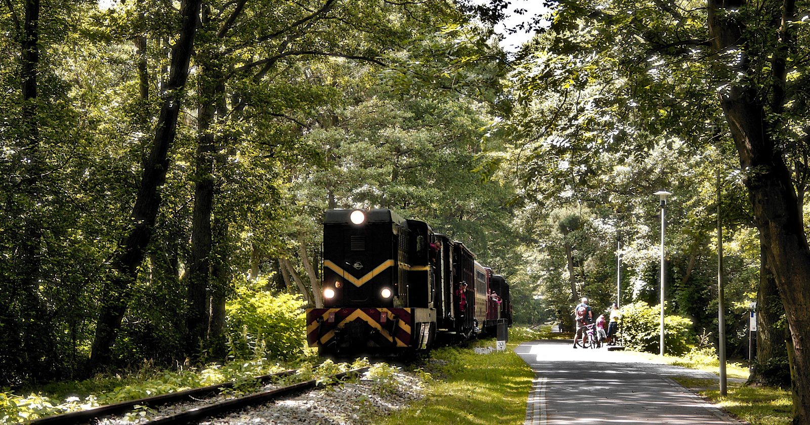
In 1963, the government report set out to cut thousands of miles of railway out of Britain’s map, severing towns from the network that had shaped them. Nearly forty years later, cyclists and walkers were following many of those same routes again, on trails laid over the very ground the trains had left behind. The lines closed to break connections ended up making new ones.
It is a neat story. But on closer reading, we think it is also an incomplete one.
The report that redrew the map
The plan came from Dr Richard Beeching, chairman of the British Railways Board, in a report called The Reshaping of British Railways. Published on 27 March 1963, it identified 2,363 stations and around 5,000 miles of line for closure, roughly 55% of stations and 30% of route miles. The aim was to stop the network hemorrhaging money.
The cuts became known, not fondly, as the Beeching Axe. Over the following decade, a network of around 18,000 route miles lost thousands of miles of line. Branch lines vanished. Whole stretches of countryside lost the rail links that had connected them to everywhere else.
What remained, in many cases, was a long thin strip of flat, gently curving ground running from nowhere in particular to nowhere in particular, growing over with grass.
How the dead lines got a second use
That leftover ground turned out to be close to ideal for something else. A former railway is flat, avoids steep gradients, stays clear of road traffic, and already cuts a clean line through towns and open country alike. The charity Sustrans, which had grown out of a Bristol cycling group, saw the opportunity early and started building.
Their first project set the template. The Bristol and Bath Railway Path, about 13 miles long, ran along a former Midland Railway line that had closed to passengers at the end of the 1960s. It was converted into a cycle path between 1979 and the mid-1980s, and became the seed of something much larger. These railway paths were folded into the National Cycle Network, which opened around 2000 once 5,000 miles had been completed, helped along by a £42.5 million grant from the National Lottery’s Millennium Commission.
How much of the network ended up on old rail lines is worth pinning down carefully. In written evidence to Parliament, Sustrans stated that “1217 miles of NCN, 29 miles of RCN [regional routes] and 58 miles of LINK routes are classified as railway path.” That is Sustrans’ own count, not an independently audited national figure. The evidence was submitted in February 2019, and Sustrans said the figures had been compiled after the Telegraph asked the charity the previous year how many miles of former railway had been converted into walking and cycling routes.
A thousand cast-iron markers
To mark the network’s opening in 2000, the Royal Bank of Scotland paid for a run of 1,000 cast-iron Millennium Mileposts, planted as markers along the routes. They were not off-the-shelf posts.
Four artists, one from each of the UK’s four nations, produced four separate designs: Jon Mills for England, Iain McColl for Scotland, Andrew Rowe for Wales and David Dudgeon for Northern Ireland, with the designs scattered across all four countries rather than kept to home turf.
Severance, and why it isn’t a tidy redemption
The obvious reading is a happy one: closure became connection, loss became use, and the map healed itself in an unexpected way. There is real substance to that. In 2024, one of the busiest sections of the Bristol to Bath Railway Path, near Easton Community Centre, recorded around 2.2 million trips, up from 1.5 million in 2021.
We would resist wrapping it up too neatly, though. The paths are genuinely good, but they exist because something was taken away first, and the two things are not the same. A cycle route is not a train service. The towns that lost their rail links in the 1960s did not get them back. They got a trail where the tracks used to be, which serves different people for different reasons.
That tension is still live. When the Department for Transport floated reopening some disused lines to rail, Sustrans’ chief executive Xavier Brice argued: “Whilst we welcome the potential re-opening of disused railway lines in principle, it will be critical that the many walking and cycling routes which have been built along some of these lines are also maintained.” That is the position of a cycling charity protecting its trails, and it should be read as such. It also captures the awkwardness precisely. The same strip of ground can only be one thing at a time, and deciding which is a choice with real losers either way.
So the mileposts mark distance along routes that were closed, reopened as something else, and are now argued over again. That is a richer thing than a redemption story, and a more honest record of what Britain decided to stop doing, laid over the ground where it happened, with cast iron counting the miles.
