

South Van Dorn Street carries as many as 37,000 vehicles a day through a 2.5-mile Fairfax County corridor where the posted speed limit rises from 35 mph to 45 mph near the Capital Beltway, then drops to 35 mph again. Before Virginia published its final recommendations in July 2026, the public had three separate chances to weigh in on what should change.
The Virginia Department of Transportation’s project record shows a first round of public involvement in March 2025, a second in September and October 2025, and a January 2026 open house where residents and travelers could rank the recommended alternatives. The final report followed in July.
The road in question
South Van Dorn Street is Route 613 in Virginia’s highway inventory. The study covered the 2.5 miles between Telegraph Road and the Alexandria city limits, plus three-quarters of a mile of Franconia Road between Grovedale Drive and South Van Dorn Street.
Traffic volumes change sharply across that area. VDOT lists daily counts of 14,000 to 37,000 vehicles on South Van Dorn Street and 22,000 to 32,000 on Franconia Road.
The posted speed limit changes with the road as well. It is 35 mph between Telegraph Road and Franconia Road, 45 mph between Franconia Road and I-95/I-495, and 35 mph again between the Beltway and the Alexandria city limits.
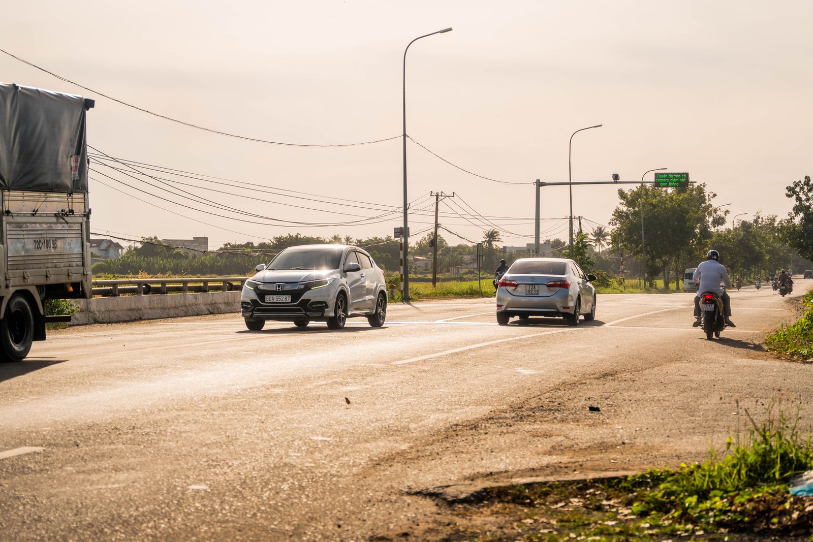
Three rounds of public input
The first round began in March 2025. VDOT asked residents and travelers to identify corridor priorities through a survey and written comments, saying that the feedback would be used to develop improvement alternatives for a later round of review.
The agency’s March 2025 notice kept the survey open through March 14. At that point there was no preferred design to approve or reject; the purpose was to establish the problems the next set of alternatives would have to address.
VDOT returned in September and October with proposed alternatives. Its second-round notice invited another online survey, eventually extending the response period through October 17.
The third stage was different. On January 14, 2026, VDOT held an open house at Edison High School in Franconia, and its meeting announcement gave residents and travelers until January 25 to rank seven proposed alternatives online.
Local coverage appeared before that meeting as well. ALXnow reported on December 30, 2025 that the recommended safety, transit, bicycle and pedestrian improvements would be presented for public review the following month.
What a STARS study actually does
STARS stands for Strategically Targeted Affordable Roadway Solutions. According to VDOT’s program description, the program develops cost-effective multimodal solutions to congestion and safety problems and tries to move promising concepts toward eventual implementation.
A STARS study is not a construction contract. VDOT explicitly says the studies do not establish construction dates; they produce recommended improvements that localities can pursue through later programming and funding decisions.
The program can feed several different funding routes. VDOT lists maintenance budgets, SMART SCALE, the Virginia Highway Safety Improvement Program, State of Good Repair funding and revenue sharing among the possibilities for recommendations that emerge from STARS work.
The South Van Dorn project page lists its estimated project cost as “N/A.” What exists at this stage is an evaluated set of concepts, not a funded construction package with a start date.
Seven groups of recommended improvements
At the Beltway ramps, VDOT recommends eastbound dual right-turn lanes. At Crown Royal Drive, the recommended concept is a modified Continuous Green T intersection.
At South Van Dorn Street and Franconia Road, the recommendation calls for a signal modification and turn-lane extensions. Kingstowne Boulevard would receive a northbound left-turn-lane extension and medians, while Telegraph Road would gain an additional eastbound and westbound through lane.
The Franconia Road and Beulah Street intersection is proposed for a Thru Cut with a two-way-left-turn restriction. Corridor-wide multimodal recommendations include bus-stop changes, ADA ramp changes and a shared-use path on South Van Dorn Street between Telegraph Road and Franconia Road.
Those recommendations put pedestrian and traffic operations into the same corridor-level plan rather than treating each intersection as a separate problem. For broader context, Terra Daily has also covered Philadelphia’s concentration of severe crashes on a High Injury Network and research into how pedestrians detect approaching electric vehicles.
What happens after the report
Publication does not make any of the seven alternatives self-executing. Fairfax County and VDOT still have to decide which recommendations are advanced, how they are packaged as projects, and which funding route is appropriate.
One possible route, SMART SCALE, operates on a biennial timetable. VDOT’s technical guide says eligible applicants create candidate projects beginning in March of even-numbered years, with final applications due August 1 after pre-application and screening stages.
That timetable helps explain why a planning document and a construction crew can be separated by years. Even after engineers settle on a concept, the project still has to move through eligibility, funding, design and programming before work can begin.
South Van Dorn is not the only nearby corridor where design and public review extend across multiple stages. VDOT’s much larger Richmond Highway project records four public information meetings in 2017 and 2018, followed by environmental and design hearings before later right-of-way and construction work.
The quiet part of infrastructure
By July 2026, the South Van Dorn process had produced something precise but limited: seven groups of recommended improvements on a corridor carrying between 14,000 and 37,000 vehicles a day. It had not produced a construction date.
Some of the proposed changes are visible at the scale of a single intersection: another turn lane, a modified signal or a median. Others stretch along the corridor, including bus-stop changes, accessible ramps and the proposed shared-use path.
VDOT’s own description keeps the boundary clear. STARS studies develop improvements that localities can pursue for funding; they do not promise that every recommendation will be built or say when construction will begin.
For now, the road still runs through the same sequence of 35 mph and 45 mph zones, carrying tens of thousands of vehicles each day. If one of those recommended crossings, ramps or paths eventually changes shape, its paper trail will reach back to the first survey responses VDOT collected in March 2025.
