
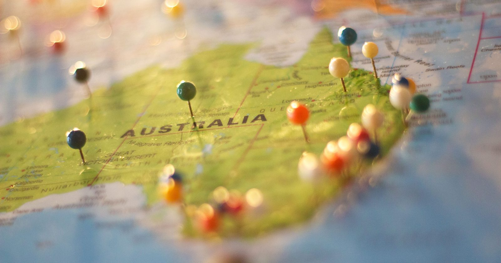
Here is a number that does something odd to your sense of scale. Australia moves northeast at about seven centimetres a year. That is the fastest of any tectonic plate on Earth. It sounds like nothing. But over a human lifetime it adds up to several metres of ground underfoot relocating. So how fast is a continent, really, and where is this one headed?
How fast is seven centimeters, really?
The fingernail comparison is the one that sticks, and it is roughly right. Healthline puts average fingernail growth at an average rate of 3.47 millimeters a month, or about 4.2 centimetres a year. Set that against Australia’s roughly 7 centimetres and the continent is moving a bit under twice as fast as your nails grow.
What makes the pace stand out is how it ranks. Live Science, citing National Geographic, notes that tectonic plates typically move 1 to 2 inches (3 to 5 centimeters) per year, and adds that this is “about as fast as your fingernails grow.” Against that spread, Australia’s 7 centimetres sits at the top of the range. In tectonic terms, it is sprinting.
Why does a whole continent drift at all?
The engine sits deep below the crust. The rock beneath the plates is solid but slowly churning, hot material rising and cooler material sinking over enormous stretches of time. That churn drags the plates along at the surface. Where plates pull apart, fresh rock wells up and pushes the older crust outward. Australia rides on top of one of these plates, carried north whether it likes it or not.
None of this is felt at ground level. The plate does not lurch. It creeps, which is exactly why the number is so hard to picture. The motion only becomes obvious when something precise, like a satellite network, is asked to keep track of it.
What is in the way?
Australia is not drifting into open space. It is heading straight for the crowded plate boundary to its north, the zone that runs through Indonesia and New Guinea.
The result is a slow-motion pile-up. Work summarised by the Nature Index describes the Central Range of New Guinea, which tops 4,500 metres in places, as the product of an ongoing collision between the Australian plate and old volcanic arcs. It is a mountain belt still rising today. Australia leaning on Southeast Asia is not a future scenario. It is happening now, one tremor at a time.
Why your GPS disagrees with the ground
This is where the slow number turns into a practical headache. Satellite positioning works against a fixed global reference point. Australian maps, sensibly, were pinned to Australia itself. The problem is that Australia keeps moving, so over the years the maps and the satellites drifted apart. By 2016 there was a 1.5-metre discrepancy between the map and the real ground position.
A metre and a half is trivial for a phone map but a serious problem for anything that needs to be exact, like automated farm machinery or self-driving vehicles. Geoscience Australia’s fix was to redraw the coordinate system so it shifts all coordinates in Australia by 1.8 metres to the northeast, bringing the map back in step. Writing in 2017 as that update was underway, geospatial researchers put it plainly: “The upshot is that Australia’s datum needs updating to ensure Australia’s plate-fixed maps are in sync with devices with accurate positioning capabilities.”
Does this end in a supercontinent?
Push the clock forward far enough and the drift has a destination, at least in one model. Continents have a habit of gathering into a single mass and then breaking up again. As the Curtin University team behind the projection notes, Earth’s continents have collided together to form a supercontinent every 600 million years over the past two billion. A 2022 study led by Curtin ran that process forward on a supercomputer and landed on a next gathering it calls Amasia, forming as the Pacific Ocean closes rather than the Atlantic.
Lead author Chuan Huang described it this way: “By simulating how the Earth’s tectonic plates are expected to evolve using a supercomputer, we were able to show that in less than 300 million years’ time it is likely to be the Pacific Ocean that will close.” Australia, in this account, is not a bystander. According to the model, “Australia is also expected to play a role in this important Earth event, first colliding with Asia and then connecting America and Asia once the Pacific Ocean closes.”
We should be clear about what this is: one modelling study, not settled fact. The researchers themselves lean on “expected” and “likely,” and a projection about events a couple of hundred million years out is a hypothesis, not a forecast. The team does sketch what such a world might feel like. Co-author Zheng-Xiang Li suggested Amasia’s climate would be harsh, saying the sea level is expected to be lower, with a vast, very dry interior and big swings in daily temperature. All of it rests on the same simulation, so treat it as a well-reasoned sketch of a possible future, not a weather report.
What stays with us is the gap between the two ends of this story. The supercontinent is a couple of hundred million years away, safely abstract. The 7 centimetres are real right now, measurable this year, already nudging maps out of true and stacking pressure into the fault lines north of the continent. The far-off collision is not the surprising part. A number small enough to compare to a fingernail is doing all of this, underfoot, while nobody feels a thing.
