

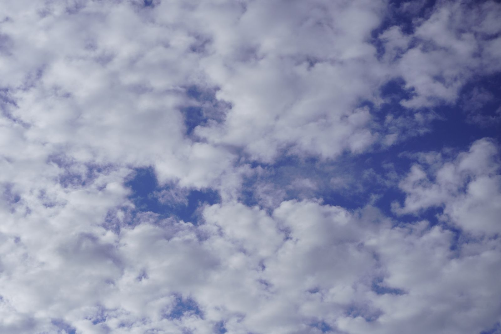
A fair-weather cumulus cloud drifting across a summer sky carries roughly 500 tonnes of liquid water inside it — about the mass of 100 African elephants, lifted into the air and held there for hours. The cloud does not fall because the parcel of warm air holding those droplets aloft is measurably less dense than the cooler air surrounding it, and that density gap, small as it is, is enough to keep half a million kilograms of water suspended a kilometre above the ground.
The number comes from a calculation that Peggy LeMone, a meteorologist at the U.S. National Center for Atmospheric Research, worked out in the 1990s and that the U.S. Geological Survey now reproduces in its water science materials. A typical mid-sized cumulus is roughly a cubic kilometre in volume. Measurements of liquid water content inside such clouds cluster around 0.5 grams per cubic metre. Multiply through, and the water alone weighs about 500,000 kilograms.
The elephants in the sky
An adult African bush elephant weighs about five tonnes. A hundred of them, standing shoulder to shoulder, would fill a small stadium. That is the water burden a single puffy cloud carries across the sky at walking pace, casting a shadow the size of a village.
And yet nothing about the cloud looks heavy. It drifts. It changes shape. It dissolves into blue by late afternoon. The physics behind that apparent weightlessness is not that the water is somehow exempt from gravity — every droplet is being pulled down at 9.8 metres per second squared, same as anything else. The physics is that the droplets are tiny, and the air holding them is warm.
Why the droplets do not fall
A cloud droplet is about 20 micrometres across — roughly a fifth the width of a human hair. At that scale, air resistance completely dominates gravity. A droplet falls through still air at about one centimetre per second, which is slower than the updrafts inside almost any cumulus cloud. The droplets are effectively suspended in a slow-motion elevator of rising warm air.
The updrafts themselves come from condensation. When water vapour condenses into droplets, it releases latent heat — roughly 2,260 joules for every gram of water that changes phase. That heat warms the surrounding air, making it lighter than the atmosphere around it, which drives it upward, which lifts more moist air to the condensation point, which releases more heat. This feedback loop can sustain itself for hours if the surface below keeps feeding it moisture.
The cloud is the visible top of a chimney. The chimney is invisible.
The density gap that does the work
Dry air at sea level weighs about 1.225 kilograms per cubic metre. Warm, moist air inside a growing cumulus weighs a fraction of a percent less — often around 1.2 kilograms per cubic metre, sometimes lower. That difference sounds trivial. Across a cubic kilometre of cloud, it adds up to millions of kilograms of buoyancy, which is more than enough to hold 500 tonnes of water aloft.
Water vapour is one of the reasons the warm air is lighter. A molecule of H₂O has a molecular mass of 18, while N₂ and O₂ — which make up 99 percent of dry air — average around 29. Every water molecule that joins the parcel displaces a heavier air molecule. Humid air, counterintuitively, is less dense than dry air at the same temperature. The cloud floats partly because it is wet.
Counting the droplets
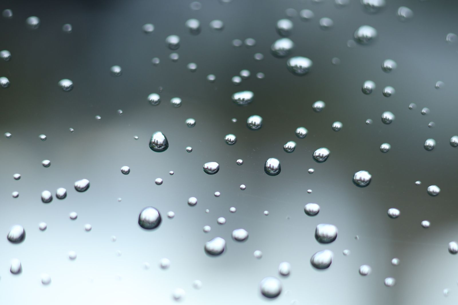
A cubic metre of cumulus contains between roughly 50 million and a billion individual droplets, depending on how many cloud condensation nuclei the parcel started with. Over the open ocean, where the air is cleaner, droplet counts run lower and droplets grow larger. Over polluted continents, droplet counts run higher and droplets stay smaller.
Each droplet needs a seed. Pure water vapour will not spontaneously condense in the atmosphere at ordinary humidities — it needs a microscopic particle to condense onto. Sea salt from breaking waves, sulphate from marine plankton, mineral dust blown off deserts, soot from wildfires, ammonium salts from agriculture. A 2021 paper on new particle formation in the remote marine boundary layer documented how nucleation events regularly occur in the upper part of the marine boundary layer following cold-front passages, seeding cloud condensation nuclei in air that had been swept clean of existing particles by rain.
Without those seeds, no droplets. Without droplets, no cloud.
What the cloud is actually doing
A 500-tonne cumulus is not static. It is a slow-motion machine converting solar energy into vertical motion. Sunlight warms the ground. The ground warms a shallow layer of air. That air rises in a bubble, cools as it expands, hits its dew point around 1,000 metres up, and starts condensing. The base of the cloud marks the altitude where condensation begins — which is why cumulus bases on any given afternoon tend to line up at roughly the same height across the horizon.
Inside the cloud, updrafts of two to five metres per second are typical for fair-weather cumulus. In a growing storm cloud, they can hit 30 metres per second — fast enough to hurl hailstones the size of grapefruits back into the freezing zone for another coating of ice. The energy released by condensation inside a large thunderstorm is comparable to a small nuclear weapon, spread out over an hour.
The cloud looks calm from the ground because scale flattens motion. A 10 mph updraft inside a 3 km tall cloud looks almost stationary to an observer six kilometres away.
What makes cumulus different from other clouds
Cumulus form from below. The energy comes from the ground. That is why they are usually flat on the bottom and lumpy on top — the flat base marks where warm air first cools enough to condense, and the lumps mark individual thermal plumes bursting upward from hot patches of ground.
Stratus clouds, by contrast, form when a broad layer of air cools uniformly — often over the ocean, where sea surface temperatures determine the lid. Marine stratocumulus decks off the coast of California, Peru, and Namibia cover vast stretches of ocean and reflect a significant fraction of incoming sunlight back to space. Their microphysics are being pieced together in long-running observational campaigns, including the U.S. Department of Energy’s Eastern North Atlantic observatory in the Azores, which has run continuously since 2013.
Cumulus are the drama queens of the atmosphere. They build in an hour, tower for another hour, and vanish by evening as the ground cools and the updraft dies. Stratus can hang around for days.
When the cloud stops floating
The 500 tonnes of water only stays airborne while the updraft holds. Cut the updraft — because the sun sets, or the parcel exhausts its buoyancy, or drier air mixes in from the sides — and the droplets start to fall. Most of them evaporate before they reach the ground. Some collide with other droplets on the way down, growing large enough that air resistance can no longer hold them. Once a droplet passes roughly 100 micrometres, gravity starts to win. Past a millimetre, you have rain.
A single raindrop is a merger of roughly a million cloud droplets. The mathematics of how those collisions cascade is still an active question in cloud physics, particularly for warm rain over the tropical ocean, where ice-phase processes cannot be invoked to explain how droplets grow so fast.
The pollution question
Human aerosol emissions have measurably changed cloud microphysics. More particles in the air means more condensation nuclei, which means more but smaller droplets in each cloud, which means clouds that reflect more sunlight and rain less efficiently. Polluted clouds can suppress rainfall, which lets more pollution accumulate in the atmosphere, which further modifies the clouds.
The 500-tonne number is an average for a clean-air cumulus. A polluted one over an industrial region might hold the same total water spread across ten times as many droplets, each a fraction the size, each falling more slowly, each less likely to ever reach the ground as rain.
Even volcanic plumes get in on the microphysics. Sulphur dioxide injected high into the atmosphere by eruptions converts to sulphate aerosols that can seed clouds for years afterward — a process quantified by a decade-long satellite inventory from NASA’s Aura mission, which estimated roughly 23 teragrams of passive volcanic SO₂ emitted per year from the world’s degassing volcanoes. Some of that ends up as droplet seeds in cumulus half a hemisphere away.
The proposal to seed them on purpose
The idea of deliberately brightening marine clouds — by spraying sea salt into the boundary layer to increase droplet counts and reflectivity — has been floated as a possible geoengineering intervention against warming. A 2025 review of plume dispersion and measurement techniques applicable to marine cloud brightening lays out how far the engineering is from ready for real deployment. The physics is well understood. The consequences of nudging the density gap that keeps clouds afloat across an entire ocean basin are not.
The number that lingers
Next time a cumulus drifts across a summer afternoon, the arithmetic is worth carrying: half a million kilograms of water, held up by warm air that weighs a fraction of a percent less than the air around it. The droplets are falling. The air is rising faster. The cloud is a standoff, refreshed every second by more condensation, more heat, more lift, until the sun goes down and the whole apparatus dissolves back into invisible vapour.
One hundred elephants, floating over your head, for as long as the ground stays warm.
