
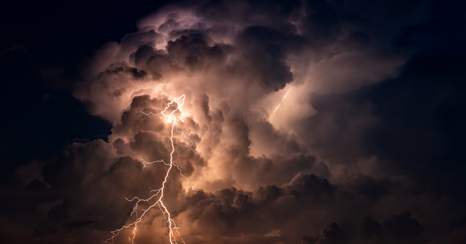
The rain has stopped. The last thunder came forty minutes ago, far enough off that it registered as a rumble rather than a crack, and the sky overhead has gone the flat grey of a storm that has finished with you. This is the moment the largest lightning flashes on Earth do their work.
In 2021, Michael Peterson and Geoffrey Stano published the first systematic measurement of where megaflashes — single lightning discharges that travel horizontally for a hundred kilometres or more — actually put their strikes. Working from satellite observations across the Americas, they found that an average megaflash grounds itself five to seven times, spread across forty to fifty percent of its length. In the largest ones, ground strikes occur along more than eighty percent of the flash. And in most cases, some stretch of that path lies under cloud that has produced no other lightning at all in the preceding hour.
Their conclusion is stated plainly in the paper: “there is no safe location below an electrified cloud that is producing megaflashes”, and existing lightning safety guidance does not always cover them.
What the thirty-minute rule assumes
The standard guidance in the United States is unambiguous. NOAA tells you to move to a substantial building or a hard-topped vehicle at the first sound of thunder, and to stay there for thirty minutes after the last one. Do not leave because the rain stopped. Wait out the half hour.
That rule is built on a sound model of an ordinary thunderstorm. A single convective cell is a vertical column a few kilometres across. Its charge separates vertically. Its bolts run mostly downward and mostly stay within about sixteen kilometres of the parent cell. Thunder is audible to roughly ten miles. So if you have heard no thunder for thirty minutes, the cell that could reach you has moved on.
Every step of that reasoning holds. None of it applies to a flash that travels six hundred kilometres sideways.
The megaflash breaks the rule not by being stronger but by being differently shaped. Its far end can be hours of travel away from the convective core that fed it, under a part of the sky that has been quiet since before you started counting.
Where the charge waits

Megaflashes come out of mesoscale convective systems, the large organised storm complexes that cross the Great Plains and the Deep South. An MCS has two parts. At the front is the convective line — the hail, the wind, the tornado risk, the part that makes the news. Trailing behind it is the stratiform region: a broad, flat, rain-softened deck of cloud that can extend for hundreds of kilometres.
The stratiform region is where megaflashes live. Charge arrives there by advection from the convective line and is also generated in place, and it settles into wide horizontal sheets rather than the tight vertical stacks of a single thunderhead. Peterson and Stano note that the ceiling on a flash’s size is not the energy available but the extent of the charge reservoir it can reach. In a stratiform deck, that reservoir is enormous and it is laid out flat.
Crucially, the deck holds its charge after the violent part of the storm has gone by. “Because the clouds remain electrified, they can still produce lightning,” Peterson, now a senior research scientist at the Georgia Tech Research Institute’s Severe Storms Research Center, told his institution’s newsroom. A cloud that is not flashing is not a cloud that has discharged.
So the thing overhead looks spent. It is loaded.
Bolt from the gray
Lightning safety has long recognised the “bolt from the blue” — a flash that runs out of the side of an isolated storm and comes down under open sky five to ten miles away. It is rare, it is well documented, and it is the reason the guidance says blue overhead does not mean safe.
When the World Meteorological Organization certified a new distance record in July 2025, committee member Walt Lyons proposed a second category for the megaflash case. He called it a “bolt from the gray”: the same surprise arrival, but from the flat overcast of a trailing stratiform deck rather than from clear sky, and originating not five miles away but potentially many hundreds of kilometres from the charge-generating region.
The distinction matters operationally. Forecasters working with satellite lightning data have been warned about it directly. A Geostationary Lightning Mapper quick guide written by NOAA and University of Maryland researchers, distributed through Colorado State University’s RAMMB training archive, lists three hazards of large stratiform flashes: they commonly produce multiple strong ground strikes, they occur behind the main convection where lighter rain creates a false sense of security, and they can break the thirty-minute rule.
That is a training document for meteorologists, not a press release. The people who write the guidance already know it has a gap.
What comes down
The strikes a megaflash delivers are not diluted versions of ordinary ones. Peterson and Stano found that as flash extent grows past a hundred kilometres, the number of ground and intracloud events rises and so does peak current.
Stratiform lightning also skews toward positive cloud-to-ground strokes, which carry high peak currents and long continuing current — the electrical charge keeps flowing into the strike point after the initial return stroke, for a hundred milliseconds or more rather than microseconds. That sustained delivery is what sets fire to things. The same physical signature is associated with sprites, the red electrical discharges that appear far above these storms in the mesosphere.
WMO Secretary-General Celeste Saulo, announcing the 2025 record, framed the public-safety concern in exactly those terms: electrified clouds producing flashes that travel extreme distances, with consequences for aviation and for wildfire ignition.
Why nobody measured this sooner
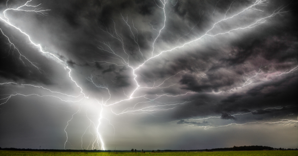
Ground-based lightning networks are good at what they were built for and structurally incapable of seeing a megaflash whole. Each sensor registers the ground contacts within its range. A flash spanning five states arrives in the record as a scatter of unrelated strikes across several detection domains, and nothing in the data says they belong to one discharge.
The Geostationary Lightning Mapper changed that. It is an optical instrument that watches the tops of clouds continuously from geostationary orbit, and it flies on the GOES-16, 17, 18 and 19 satellites. From that vantage, a single flash’s full horizontal extent is one object. NOAA’s National Environmental Satellite, Data, and Information Service operates the constellation and makes the lightning record public. The current operational pair is GOES-19 in the east, which took over the GOES-East slot on 7 April 2025, and GOES-18 in the west. GOES-16, the satellite that recorded the first megaflashes, is now in on-orbit storage as a backup.
The archive that instrument has built is the reason the numbers keep moving. The longest flash currently certified ran 829 kilometres from eastern Texas to near Kansas City on 22 October 2017 — documented in a 2025 paper by Peterson and colleagues that the WMO used to certify the record eight years after the event. It was found in reprocessed data, not in real time. The record it replaced, a 768-kilometre flash over the southern United States on 29 April 2020, was certified in February 2022.
Both records describe the same underlying situation. A very large, very quiet sheet of cloud, holding charge, with people underneath it who had reasonably concluded the storm was over.
After the thunder
None of this makes the thirty-minute rule wrong. It makes it a floor rather than a ceiling. Lyons’ guidance alongside the record was conventional and specific: the only reliably safe places are substantial buildings with wiring and plumbing, or a fully enclosed metal-topped vehicle. Not a beach shelter. Not a bus stop. Not a dune buggy. If reliable lightning data shows activity within ten kilometres, go to one of those two places.
What the megaflash research adds is a reason to distrust the specific reassurance of a quiet grey sky behind a storm that has already hit you. The convective line passing overhead is the loud part. It is not the last part.
Somewhere tonight a mesoscale convective system will finish its violent hour over Kansas or Nebraska, drop its hail, spin down its winds, and drag a hundred kilometres of flat grey cloud east behind it. Under that deck the rain will be light and the thunder will stop. People will look up, decide the thing has passed, and go back out to the field, the boat, the parking lot. The charge above them will still be there, spread out in sheets across half a state, holding, for hours.
