

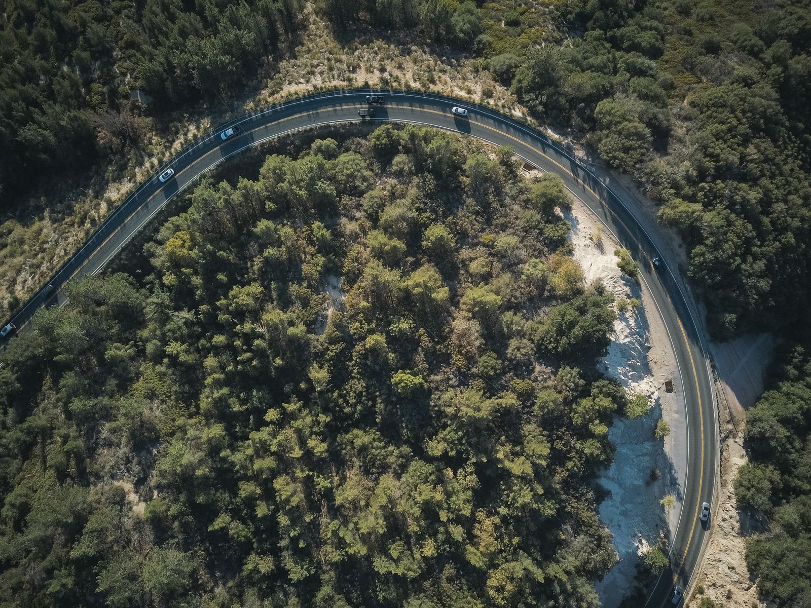
The final stretch of Wisconsin State Highway 42, where the pavement bends into a wooded ridge above Green Bay before dead-ending at Northport, carries drivers through 15 curves packed into a 2.2-mile stretch of blacktop, according to the Wisconsin Department of Transportation’s own project page. It is one of the most photographed stretches of road on the Door Peninsula, and when the Wisconsin Department of Transportation resurfaces Highway 42 in the coming construction cycle, the plan on the ground is a straightforward mill-and-overlay: new asphalt on the existing footprint, with the geometry of every curve preserved.
That last detail matters more than it sounds. In Door County, curves are infrastructure.
A road that became a landmark
Highway 42 does not end so much as unspool. The route follows the bayside of the peninsula north through Egg Harbor, Fish Creek, Ephraim and Sister Bay, then keeps going past Ellison Bay until the trees close in and the road begins to wriggle. The final stretch, sometimes called simply the curvy road, delivers drivers to the Northport ferry dock, where the Washington Island ferry loads cars for the crossing across Death’s Door.
The route it belongs to, the Door County Coastal Byway, was designated a Wisconsin Scenic Byway and later a National Scenic Byway. USA Today’s 10Best readers’ poll placed the byway in the Top 10 in the country for scenic drives, alongside routes like the Great River Road, the Natchez Trace and the Blue Ridge Parkway. The contest description singled out the curves.
Roads that make national lists tend to get treated carefully by the agencies that own them. Straightening curves for a smoother ride is standard highway engineering. Preserving them, on a state trunk highway, is a choice.
What mill-and-overlay actually does
The Highway 42 job is what transportation engineers call a resurfacing, not a reconstruction. A milling machine grinds off the top two or three inches of worn asphalt, exposing the underlying base. Crews sweep, tack, and lay a fresh mat of hot-mix asphalt on the same alignment, at roughly the same width, following the same horizontal and vertical curves.
Nothing about a mill-and-overlay requires straightening a road. Nothing about it forbids it either. The centerline that comes out of the project is the centerline that went in, unless the design plans call for something else. On the curvy stretch, the design plans do not.
That is a quieter engineering decision than it sounds. State highway resurfacings across the Midwest routinely include small realignments, shoulder widenings and sight-distance improvements bundled into the scope. Keeping the curves intact means the shoulders stay narrow, the sight lines stay short, and the speed limit stays low. The road stays the road.
Why curves survive
Highway 42’s northern end was laid down in the early twentieth century as a route to the ferry, and it followed the topography: ridges of dolomite, glacial till, mature hardwoods, the occasional wetland. Straightening it in the modern era would mean cutting through trees that have been there for generations and rebuilding the base course on new ground. It would also mean a different road, in the way a river routed through a canal is a different river.
The economic case for leaving the curves alone is not subtle. Door County’s tourism economy runs on scenery. The peninsula’s businesses trade on the drive itself as much as on the destinations at either end of it, and the curves are one of the peninsula’s most reliable pieces of visual shorthand. Photographs of the road’s tunnel of trees appear on postcards, in wedding shoots, and across every Instagram feed tagged to the county.
A construction season on the peninsula
The Highway 42 resurfacing is part of a broader construction cycle that has crews working across Door and Kewaunee counties this year. The Door County Highway Department and the Village of Ephraim have been pulverizing and paving several local roads as part of that same seasonal push.
Resurfacing projects on Highway 42 elsewhere in the county have followed a similar pattern in recent years: mill-and-overlay work that leaves the road’s geometry untouched. The approach on the curvy stretch near Northport is consistent with that history.
Resurfacing on the scale of a few miles is not cheap, and it is getting less cheap every year. In Georgia, for instance, state transportation officials say asphalt resurfacing costs rose 42 percent between 2020 and 2025, driven by asphalt binder prices tied to crude oil, higher labor costs and supply-chain friction on aggregate and equipment — a squeeze transportation agencies in other states have been describing as well.
The Potawatomi lesson
The reason the decision to keep the curves reads as intentional rather than a default has a lot to do with what happened a few miles south, inside Potawatomi State Park.
Earlier this year, the Wisconsin Department of Natural Resources began a campground road resurfacing and waterline replacement project near South Norway Road. Preliminary work started with tree removal, with utility work on Shoreline Road following soon after. The project would affect campsites, the accessible cabin, the South Shore shelter and the amphitheater, and campsites could not be reserved during the closure window.
Then came the lawsuit. A group calling itself Potawatomi Advocates for Trees, Conservation and Heritage, or PATCH, sued the DNR over the project, arguing it had widened roads, cut hundreds of trees and straightened a winding corridor that had been in place for nearly a century, all without the public input the park’s master plan requires. According to NBC26, PATCH President David Allen criticized the DNR for proceeding without required public input, arguing the work violated the park’s master plan. Allen said the master plan allowed existing roads to be maintained, not expanded.
Not every visitor agreed. According to NBC26, some visitors like Jessica Mulvill from Illinois did not oppose the changes, expressing support if the modifications would better serve the public. According to NBC26, some visitors like Texas cyclist Jim Konklin expressed concern that wider roads could lead to faster and more dangerous traffic.
The dispute is still working through the courts. But the practical effect on any road project in Door County that touches trees and curves has already registered. When residents see milling machines on Highway 42, they will be watching for the same things PATCH watched for: wider shoulders, cut trees, straightened corners.
The curves that matter
There is no bronze plaque at the start of the curvy road announcing the count. Drivers heading north from Ellison Bay toward the ferry pass a small sign warning of curves ahead, and then the pavement starts to move. Cedars and maples press in from both sides. The centerline swings left, then right, then left again in a rhythm tight enough that the horizon disappears behind every bend.
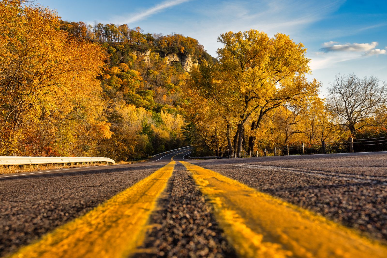
Cyclists know the number of curves because they feel each one in the lean. Motorcyclists know it because the stretch is a small legend in Midwest riding circles. Photographers know it because the tunnel of trees, shot from a low angle in early October, produces one of the most reliable fall images on the peninsula.
A resurfacing does not change any of this. The trees on either side of the pavement are not in the project’s right-of-way in the way the campground trees were in Potawatomi’s. The curves are baked into the road’s alignment, which the design plans preserve. When the new mat cools and the striping crews come through, drivers slowing for the first bend will find a smoother surface leading into the same corner.
Roads as artifacts
American highway departments spent most of the twentieth century straightening things. Curves got flattened, hills got cut down, shoulders got wider, sight lines got longer. The safety math often justified it. The aesthetic math almost never entered the conversation.
The last two decades have shifted that balance in specific places. National Scenic Byway designation, which Highway 42’s parent route received, comes with an expectation that the road itself is part of the resource being protected. The federal program’s selection criteria weigh archaeological, cultural, historic, natural, recreational and scenic qualities. A curve that has been in the same location since the Model T era counts under more than one of those headings.
Keeping the curves where they are is not a preservation project in the formal sense. There is no historic register listing for the alignment, no easement, no covenant. It is a resurfacing scope of work, written by engineers, that treats the geometry of the existing road as a given rather than a variable. On a state trunk highway carrying tourist traffic to a ferry, in a county where the drive is the destination, that is the interesting choice.
When the milling machines finish and the last cone comes off the shoulder, the curves at the north end of Highway 42 will still be there. The trees will still meet overhead. The ferry will still be waiting at the end.
